3days
1,650 mDhampus
Easy
The walk
Region · east of Mustang, west of Manaslu
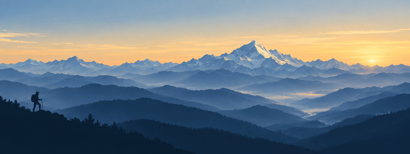
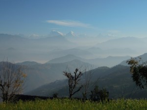
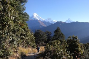
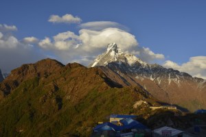
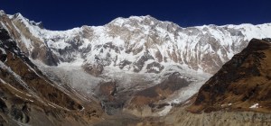
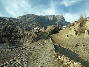
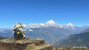
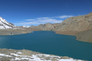
The Annapurna region rises above Pokhara: green Gurung and Magar villages, rhododendron forests, and the great wall of Annapurna, Dhaulagiri and Machhapuchhre. It holds short walks like Poon Hill and Mardi Himal, the Annapurna Sanctuary, and the long circuit over the Thorong La.
Tap Annapurna on the map to see what is here; tap another region to go there.
In Annapurna
The walks here

Three ways to walk here
| The shortestAstam and Dhampus | The highestAnnapurna Circuit | The quietestRoyal Trek | |
|---|---|---|---|
| Days | 3 days | 11 days | 4 days |
| Highest point | 1,650 m | 5,416 m | 1,730 m |
| Grade | Easy | Challenging | Easy |
| On the trail | Quiet | Busy | Quiet |
| Way in | By road | With a flight | By road |
When to walk here
Autumn is clear; spring is the season of rhododendrons. In winter the lower walks are lovely but the Thorong La and the Sanctuary can be closed by snow.
Good to know
Stories from here
Other trails here can be walked too. Tell me which one, and we plan it together.
Write to me